


5.6 km | 7.4 km-effort


User


FREE GPS app for hiking
 SityTrail
IGN / Geographical institutes
SityTrail World
The world is yours!
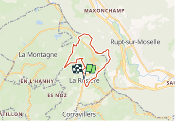
Trail Walking of 10.6 km to be discovered at Bourgogne-Franche-Comté, Haute-Saône, La Rosière. This trail is proposed by neoroll44.
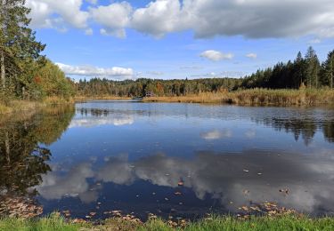
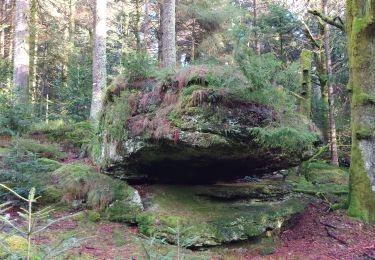
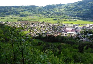
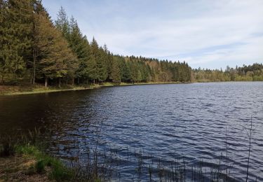
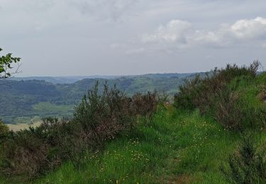
Partez à la découverte du patrimoine : croix, calvaires, fontaines et anciennes fermes des Vosges Saônoises agrémentent ce circuit qui chemine entre les hameaux disséminés dans la commune. Tout au long de ce circuit vous bénéficierez de nombreux points de vues sur les vallées et les paysages environnants.
Walking
Walking
Other activity
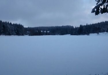
Snowshoes

Running
Walking
Walking
Walking

Walking